Description
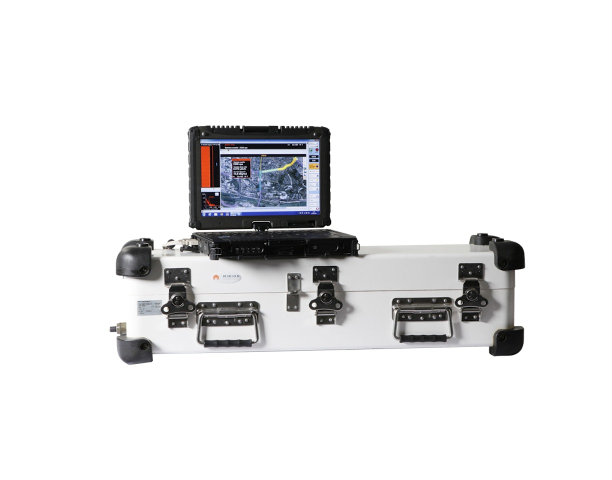
The package includes SpirMOBILE software for visualization and mapping of the dose rates (including extrapolated at ground level), nuclide identification, and count rate for each nuclide. SpirMOBILE has the capability to draw maps with interdiction/hazardous areas.
SpirMOBILE works on a remote/ground computer when the drone or robot includes a compliant radio communication system providing a robust and no-loss link. This feature is available on several industrial drones. For other drones or robots, the SKIDER™ communication system may be used.
Alternatively, when real-time visualization is not needed, the SpirMOBILE system can be installed on an embedded computer/tablet with USB connection to the SPIR-Explorer sensor and to a GPS.
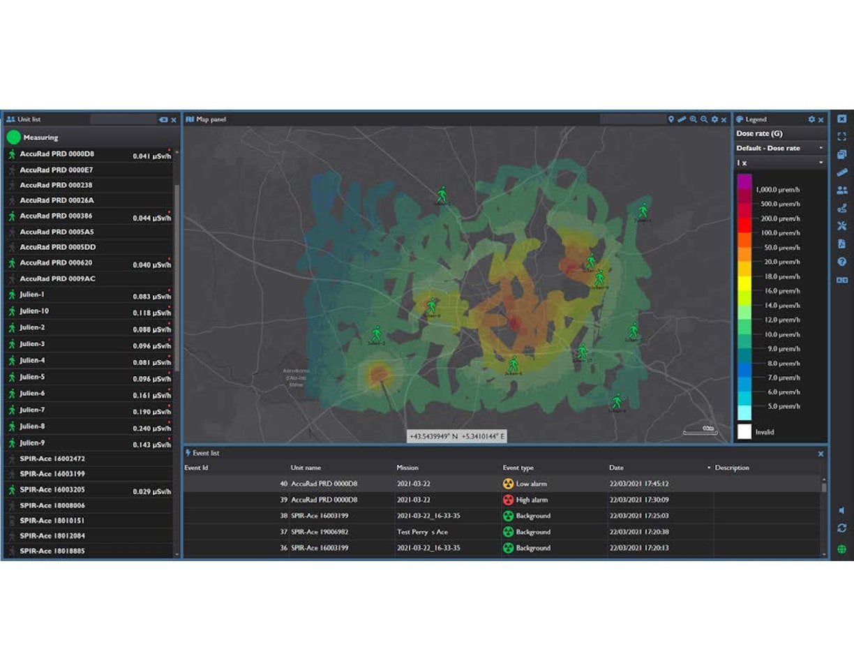
SpirVIEW Mobile™ Software (option) display allows efficient situational awareness thanks to its capability to do data fusion from several devices on the same map: swarm of drones, combination with helicopter/car/pedestrian measurements (SPIR-Ident™ Mobile, SPIR-Pack™ system, SPIR-Ace™ RIID).


